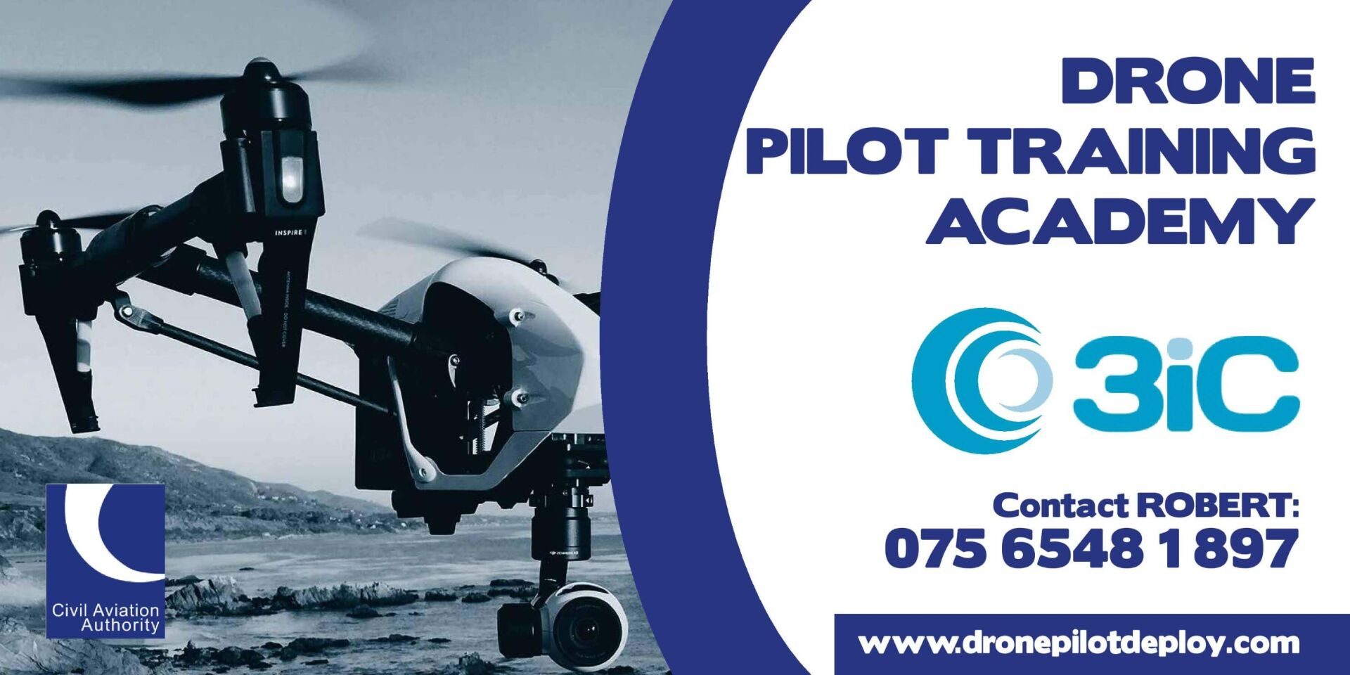
Northern Ireland's No.1 Drone Pilot Training Academy
Shipping Available
Safe Payments
Robert Dobbin is Northern Ireland's Number 1 A2 & GVC Full Time Drone Pilot and he has over 11 years experience flying all types of drones.
Robert provides fast and reliable aerial photography services and roof surveys and inspections across Belfast and Northern Ireland, owner and Director of Commercial Drone Pilot Training at Drone Pilot Training Academy Belfast.
Robert Dobbin is a full time Drone Pilot & Drone Pilot Instructor, Flight Assessor & Examiner, Drone Pilot Instructor & Flight Assessor, and drone pilot registered with the CAA (Civil Aviation Authority) and has approved Unmanned Aircraft Systems Remote Pilot Certificate of Competence in A2 category and a GVC including night operations with commercial drone insurance and an indemnity limit currently up to £1,000,000.
A2 & GVC Unmanned Aircraft Systems Remote Pilot Certificate of Competence which means I can operate safely in the UK and with full public liability insurance, giving my clients complete peace of mind as well as stunning aerial photographs and videos.
DO NOT HIRE UNLICENSED DRONE PILOTS
Anyone flying drones for commercial work must be licensed by the CAA and if they are not they will not have public liability insurance.
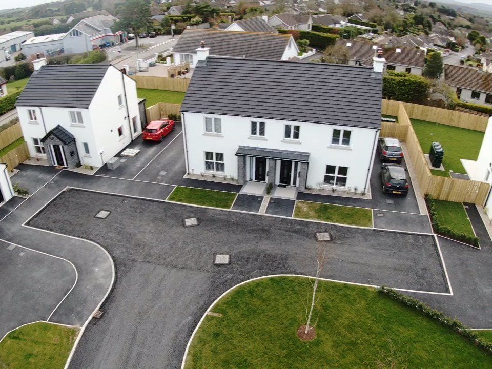
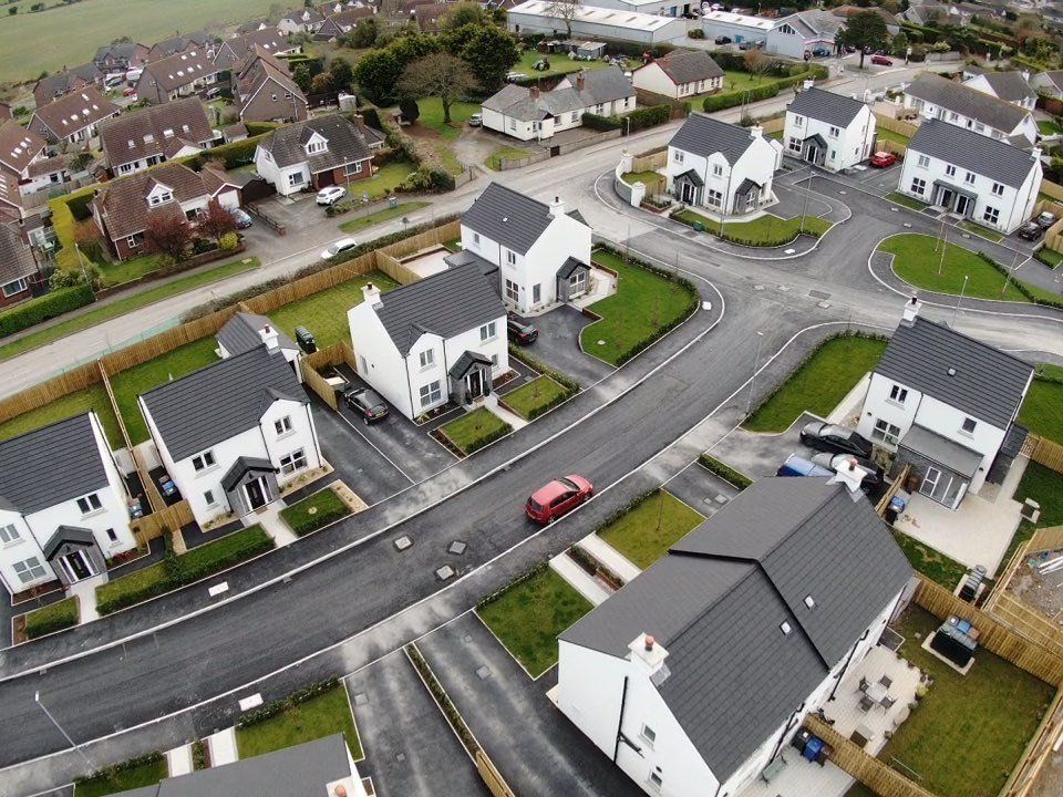
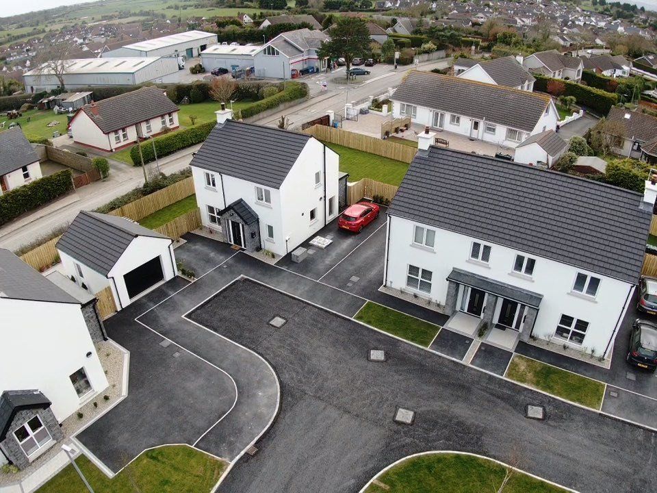
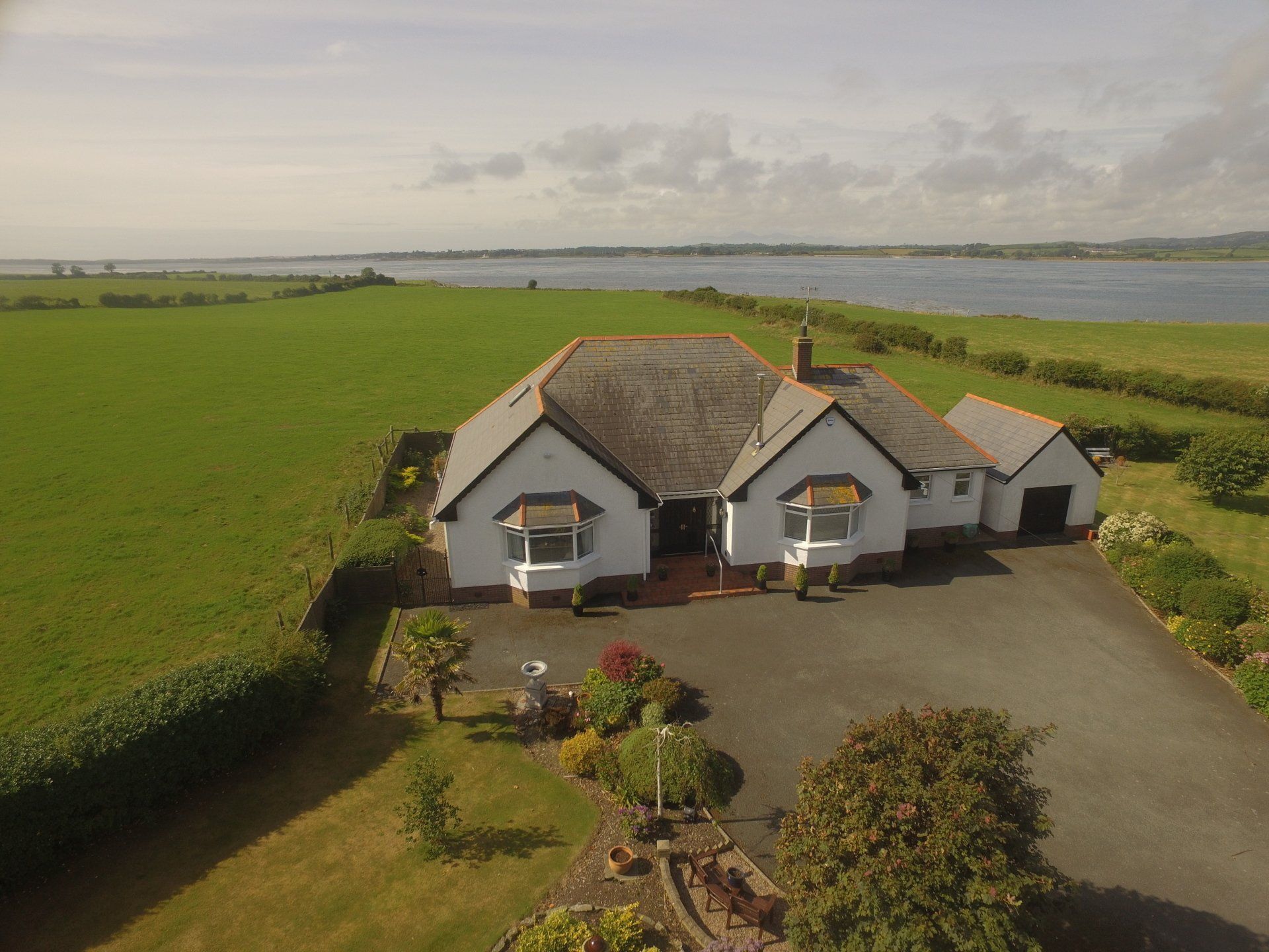
Aerial Photography - Estate Agents
All Aerial photography are carried out by a
professional drone pilot with all the
necessary insurances, permissions,
certificates, and meet all relevant safety
and legal requirements, producing high
quality digital images.
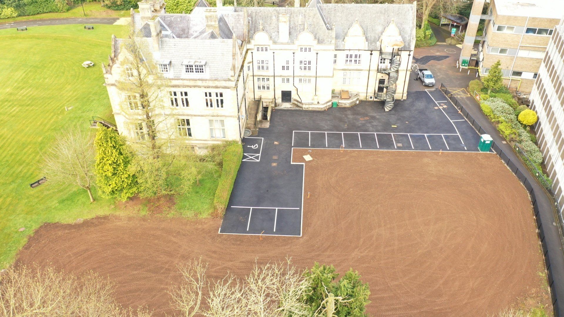
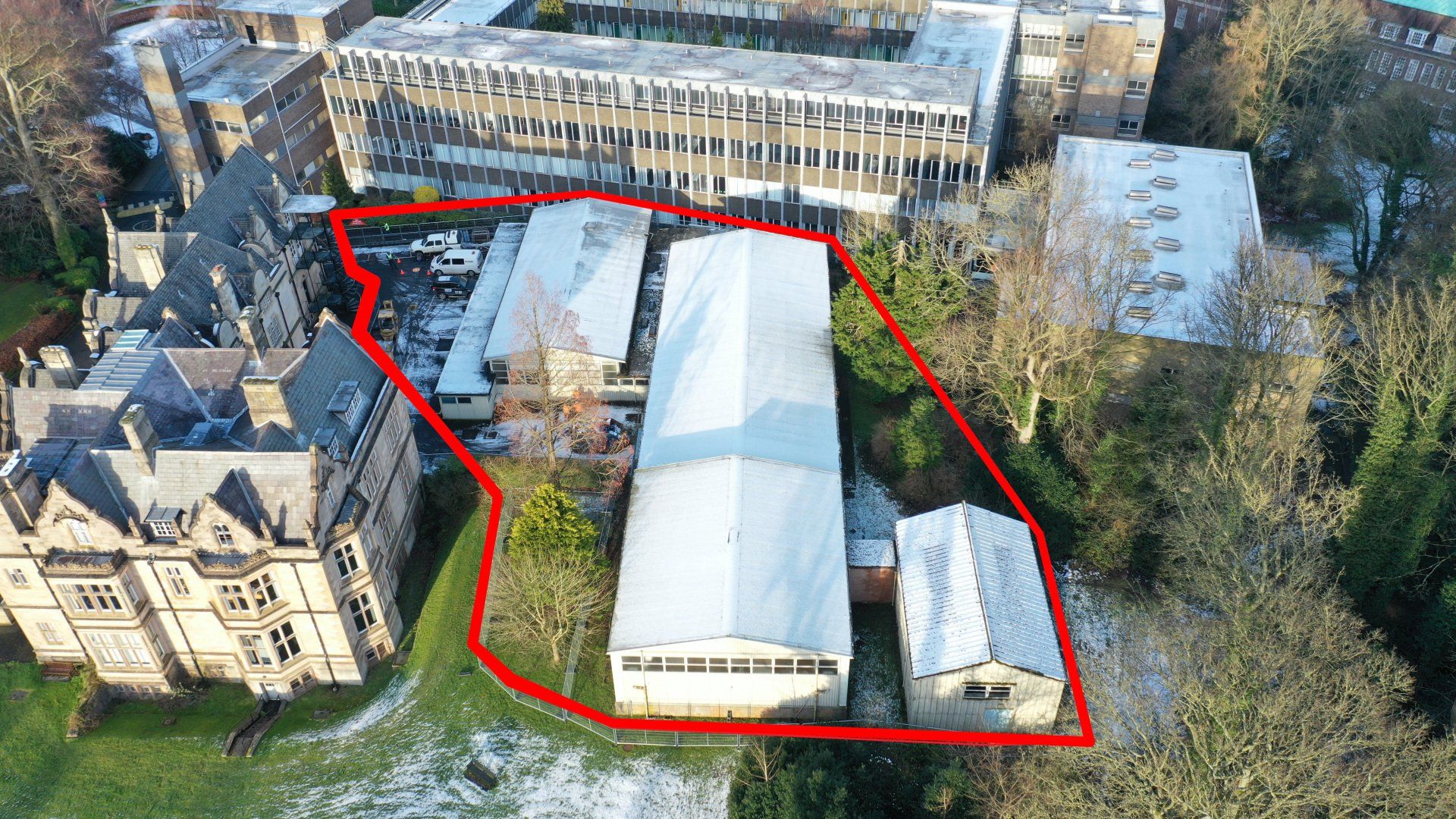
Aerial Photography -
Demolition &
Construction
Sites
All Aerial Photography is carried out by Robert Dobbin a highly professional qualified drone pilot with all the necessary insurances, permissions, certificates, and meet all relevant safety and legal requirements, and a full report including a descriptions of the photographs, coordinates with high quality digital images available if required.
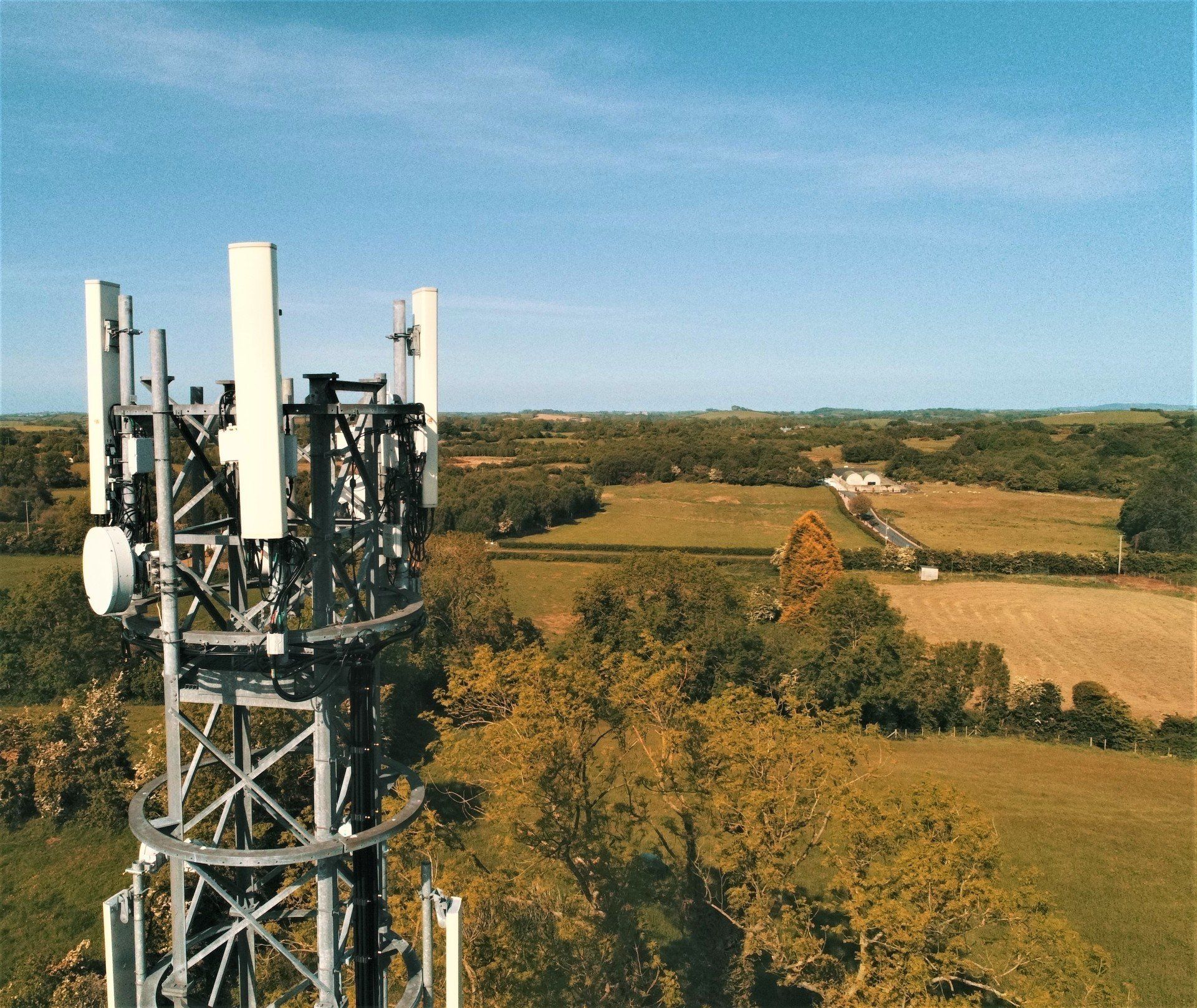
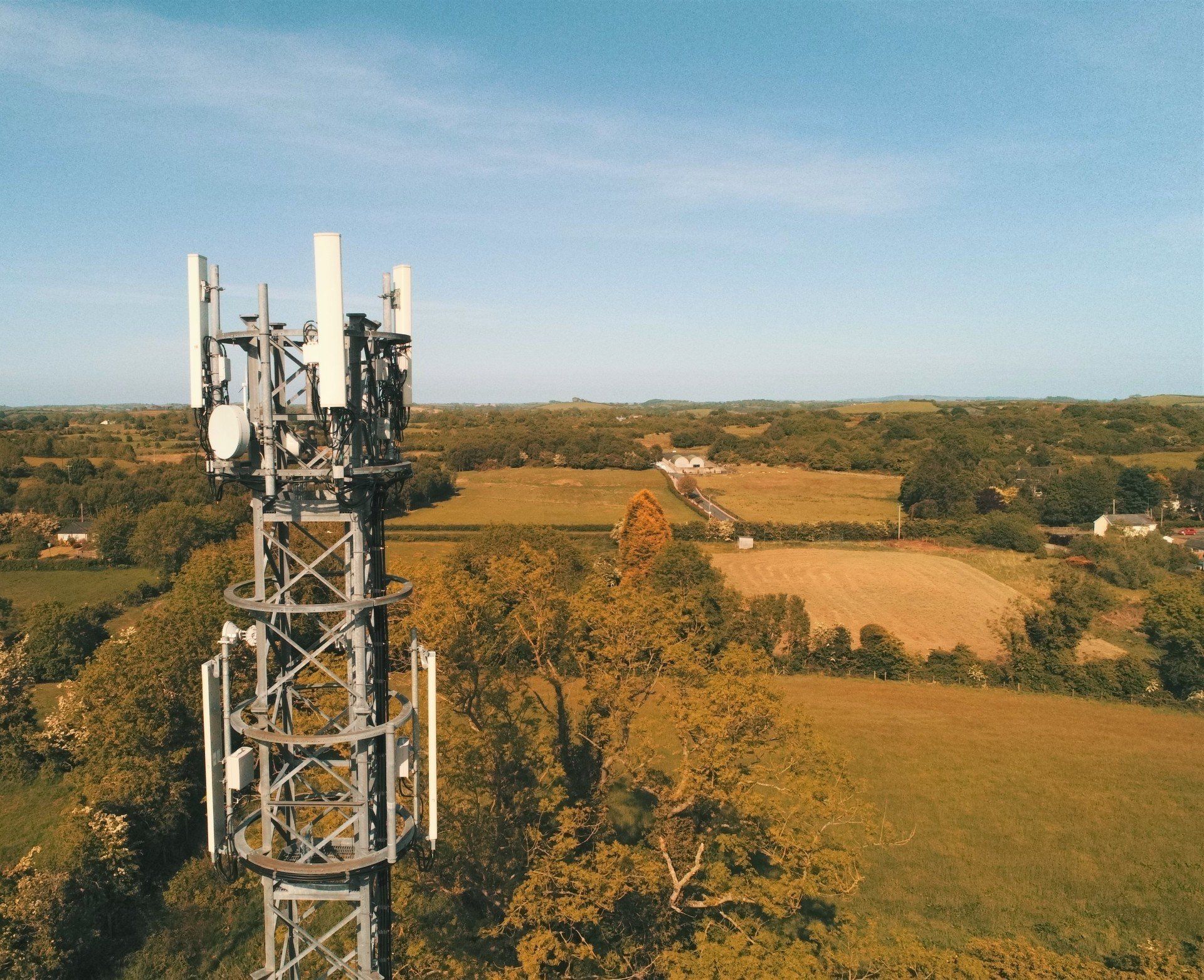
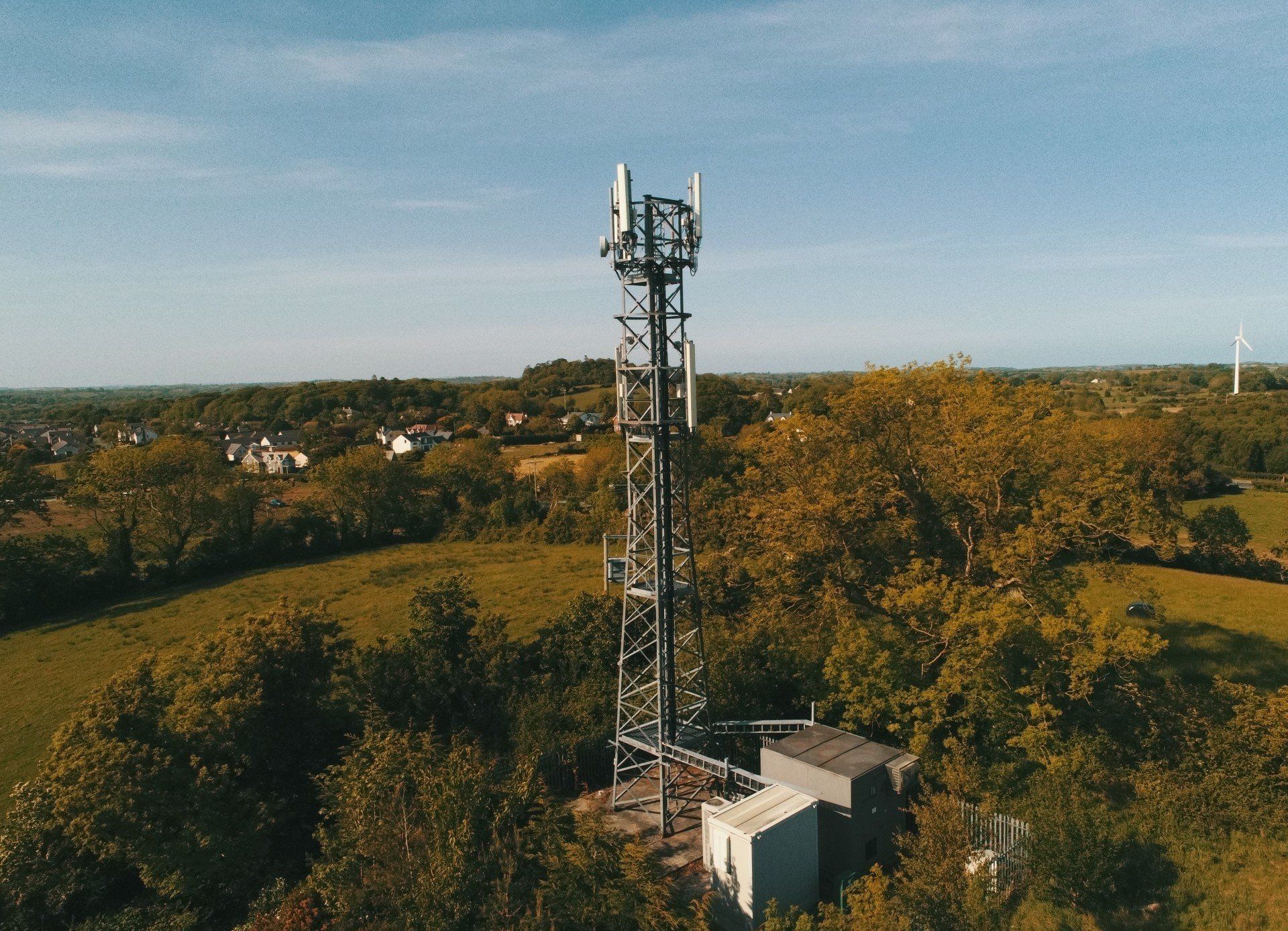
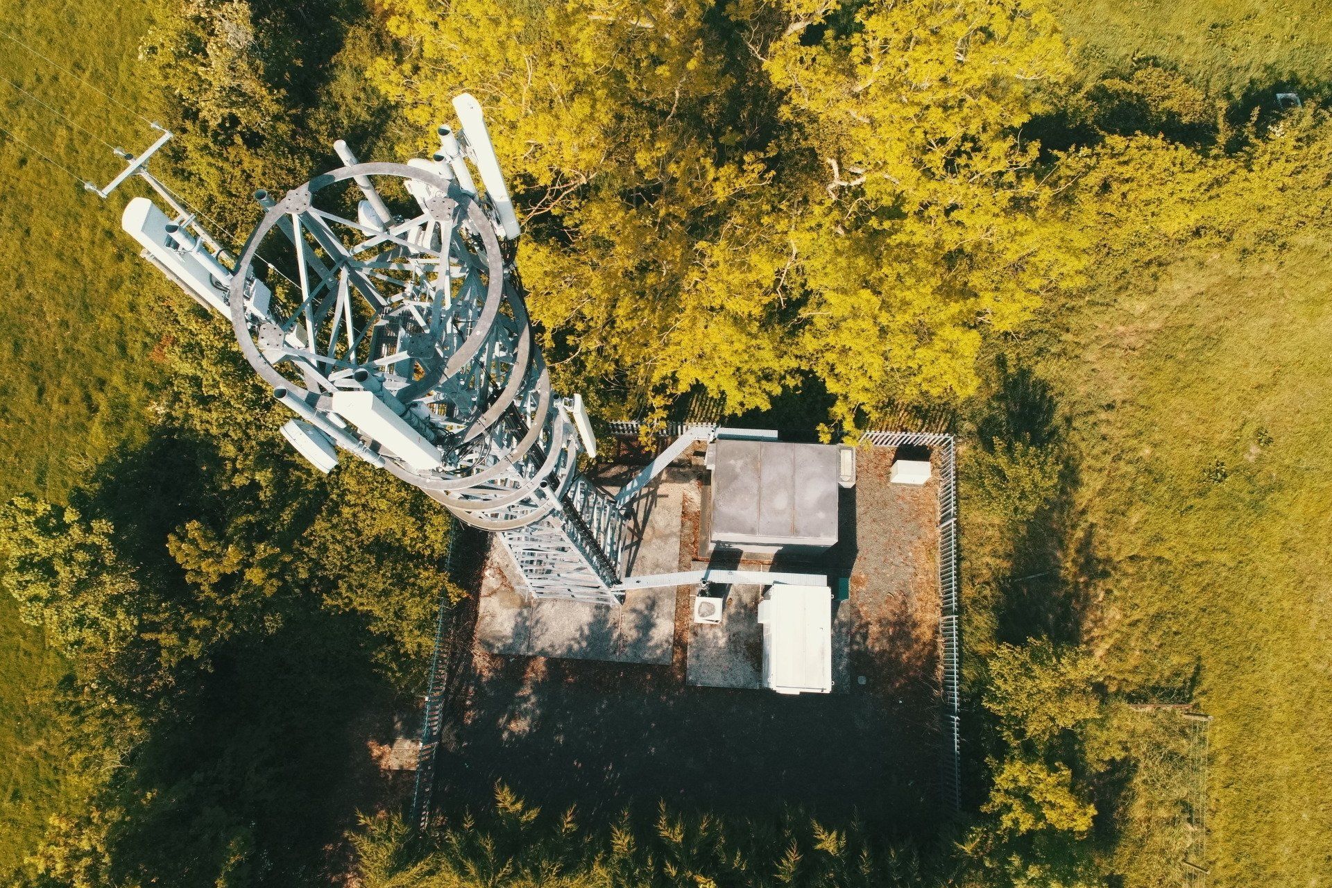
Aerial Photography
Inspections -
Cell Towers
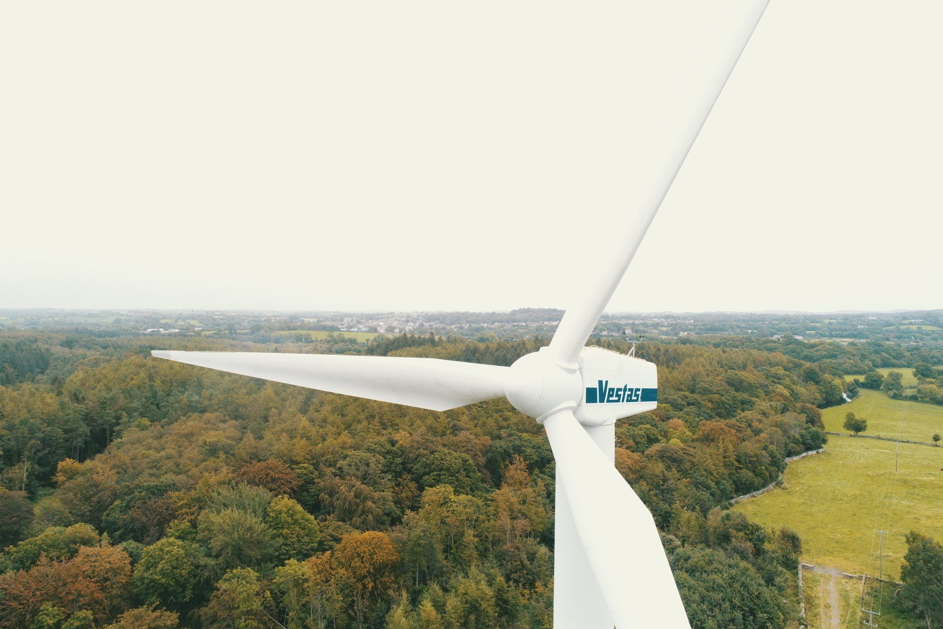
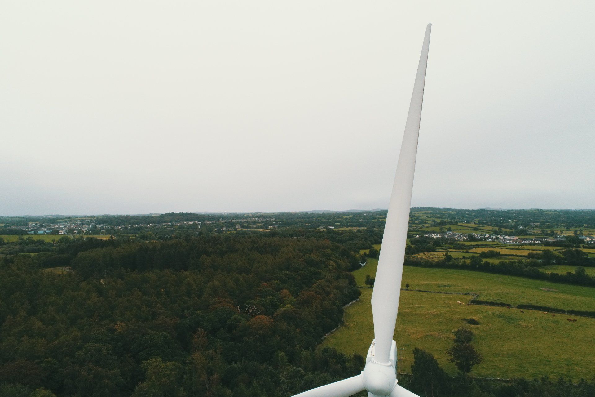
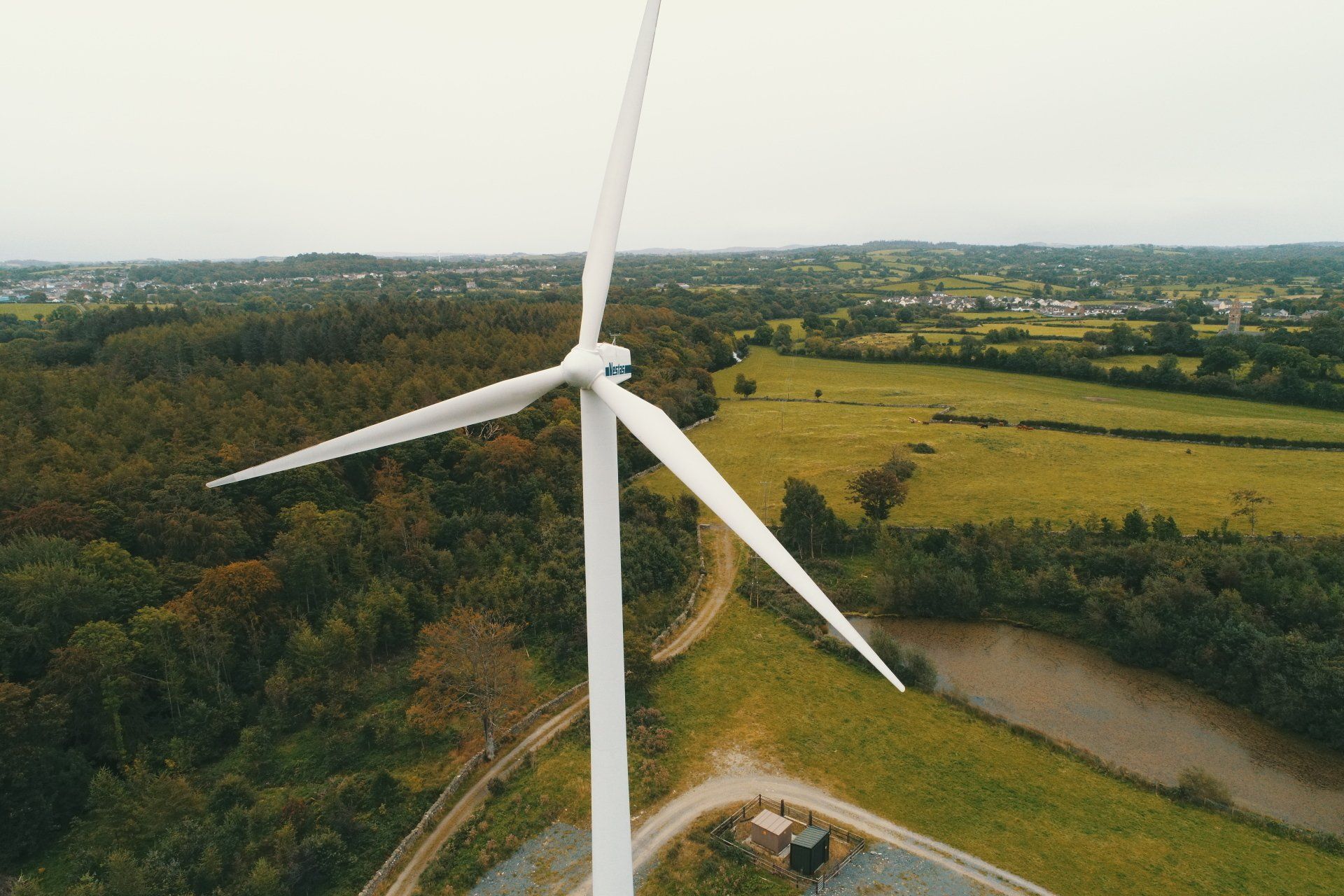
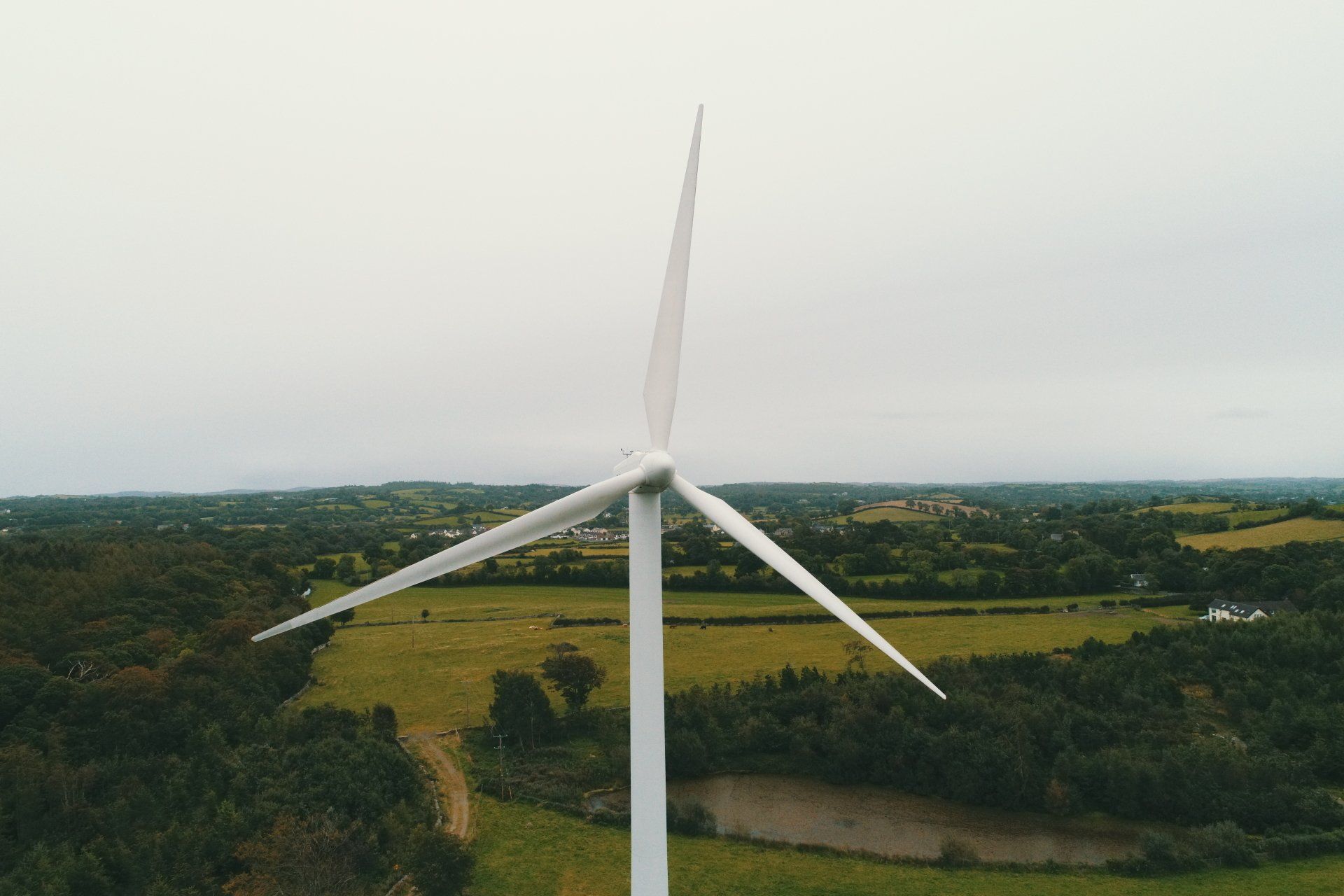
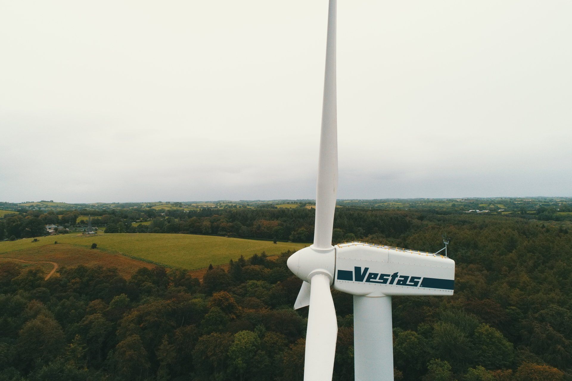
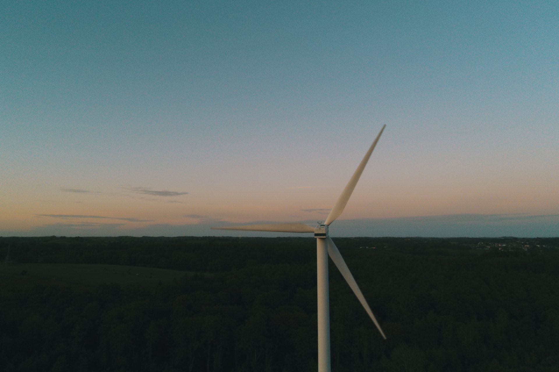
Aerial Photography Inspections -Wind Turbine
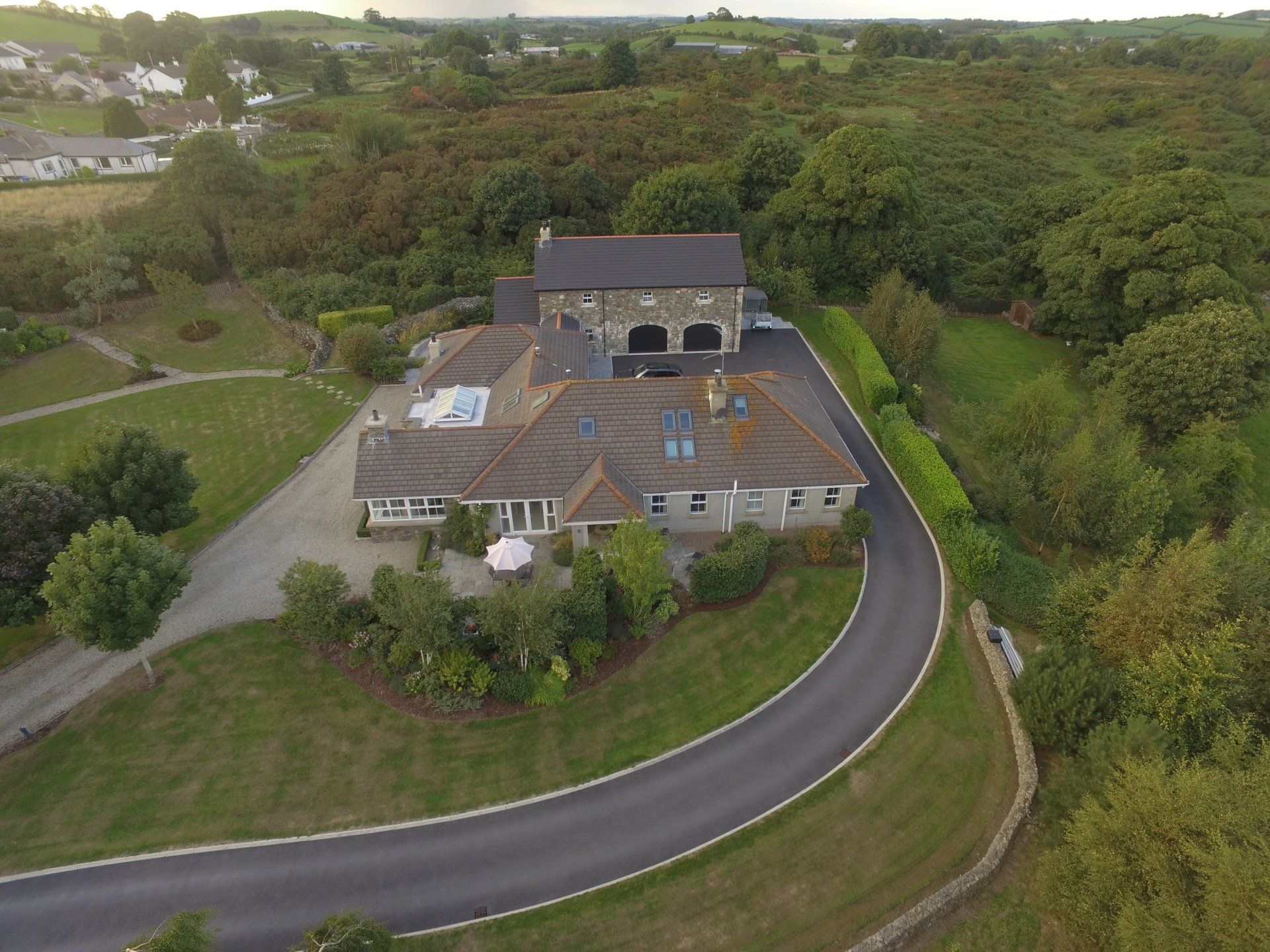
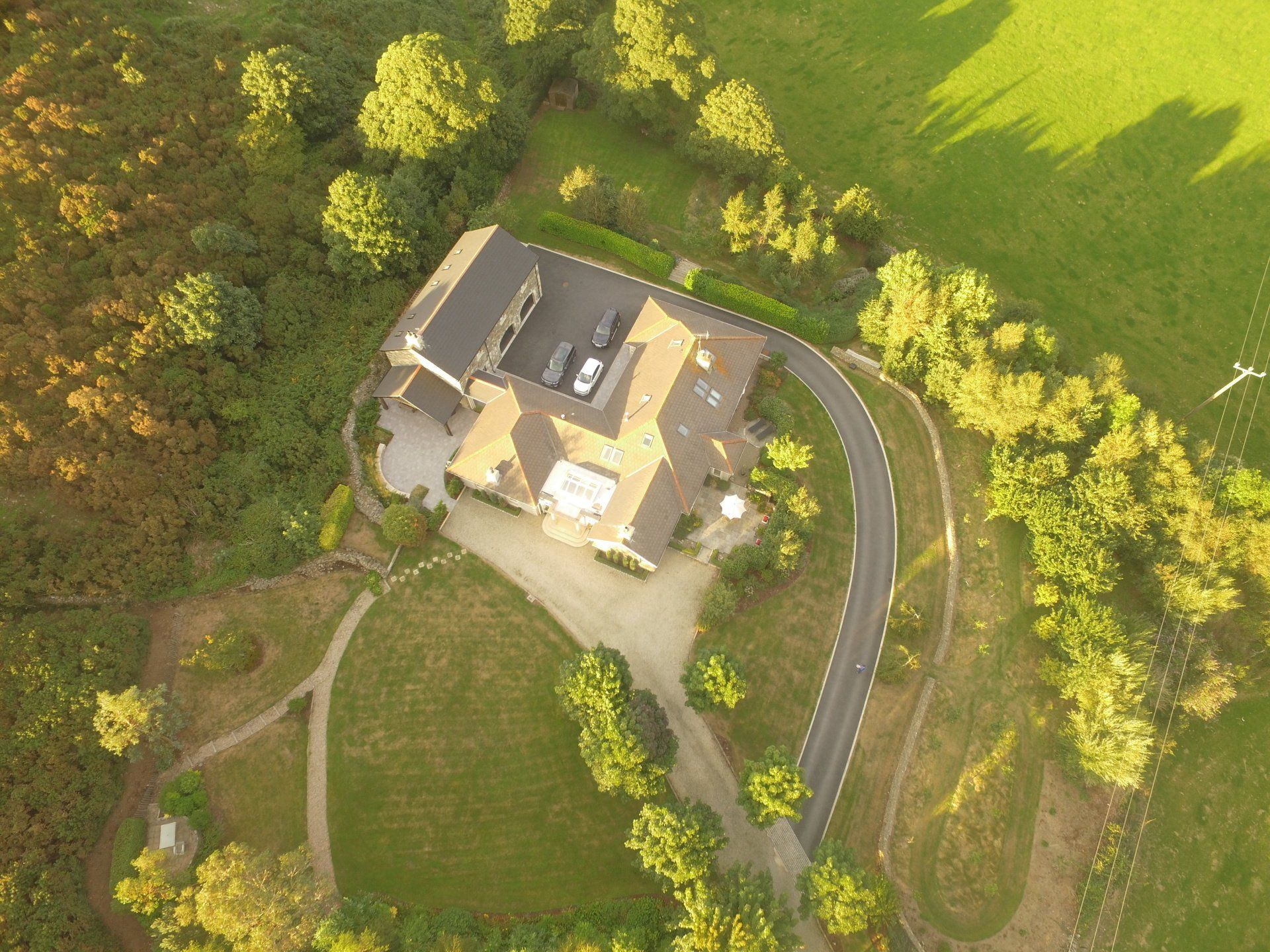
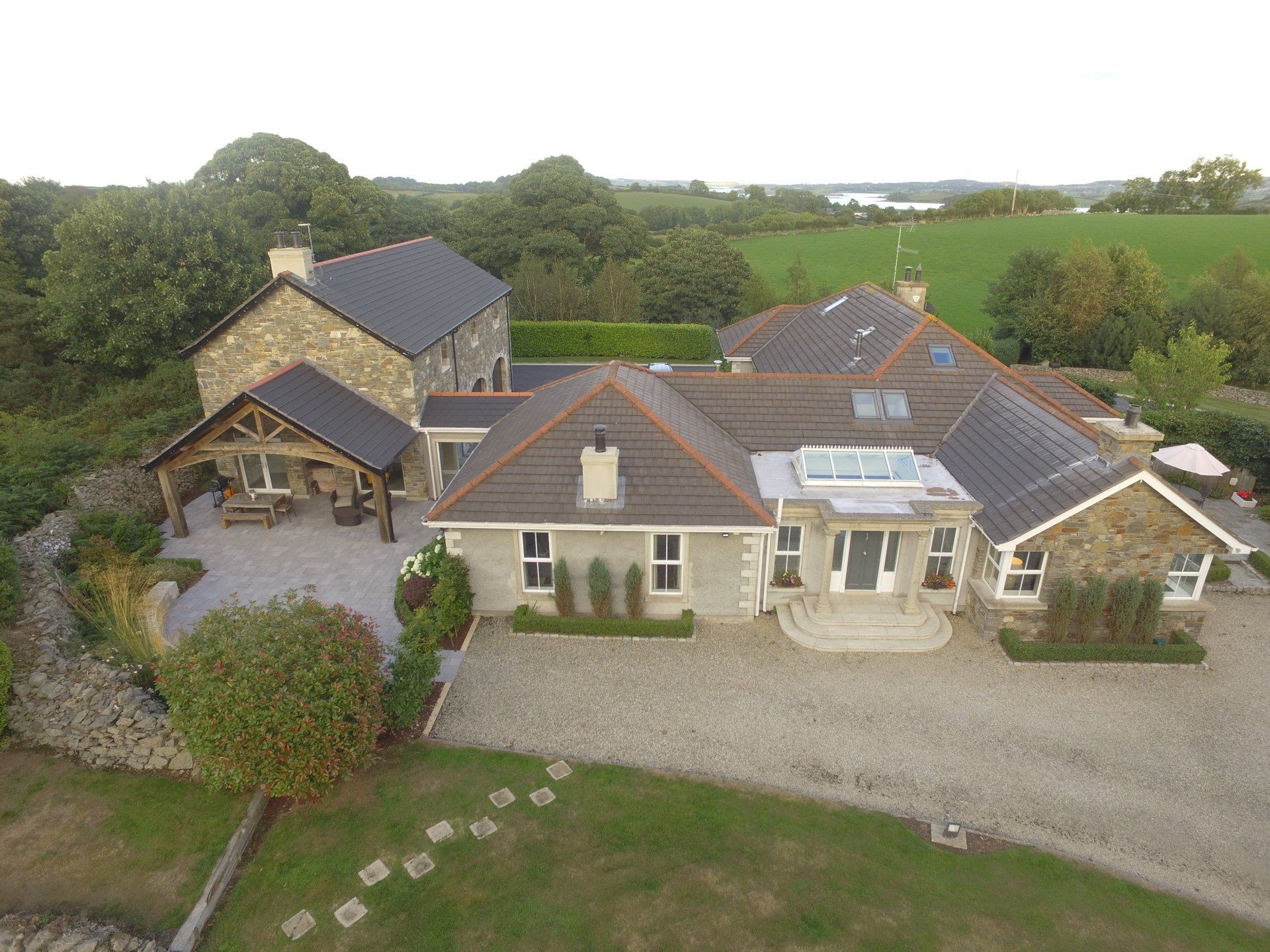
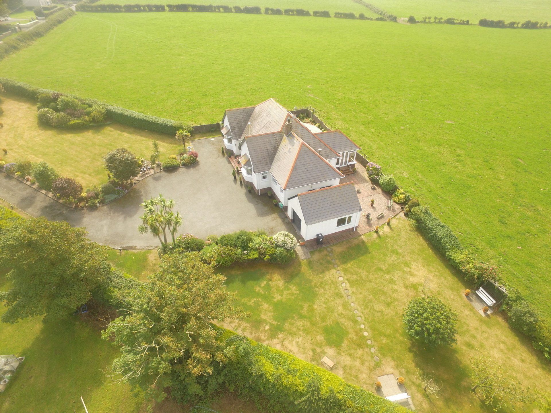
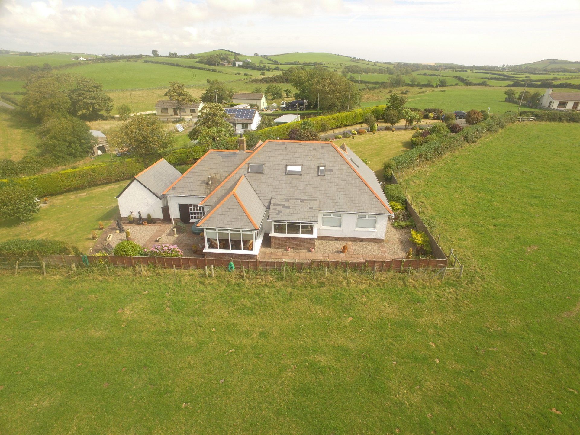
Aerial Photography -
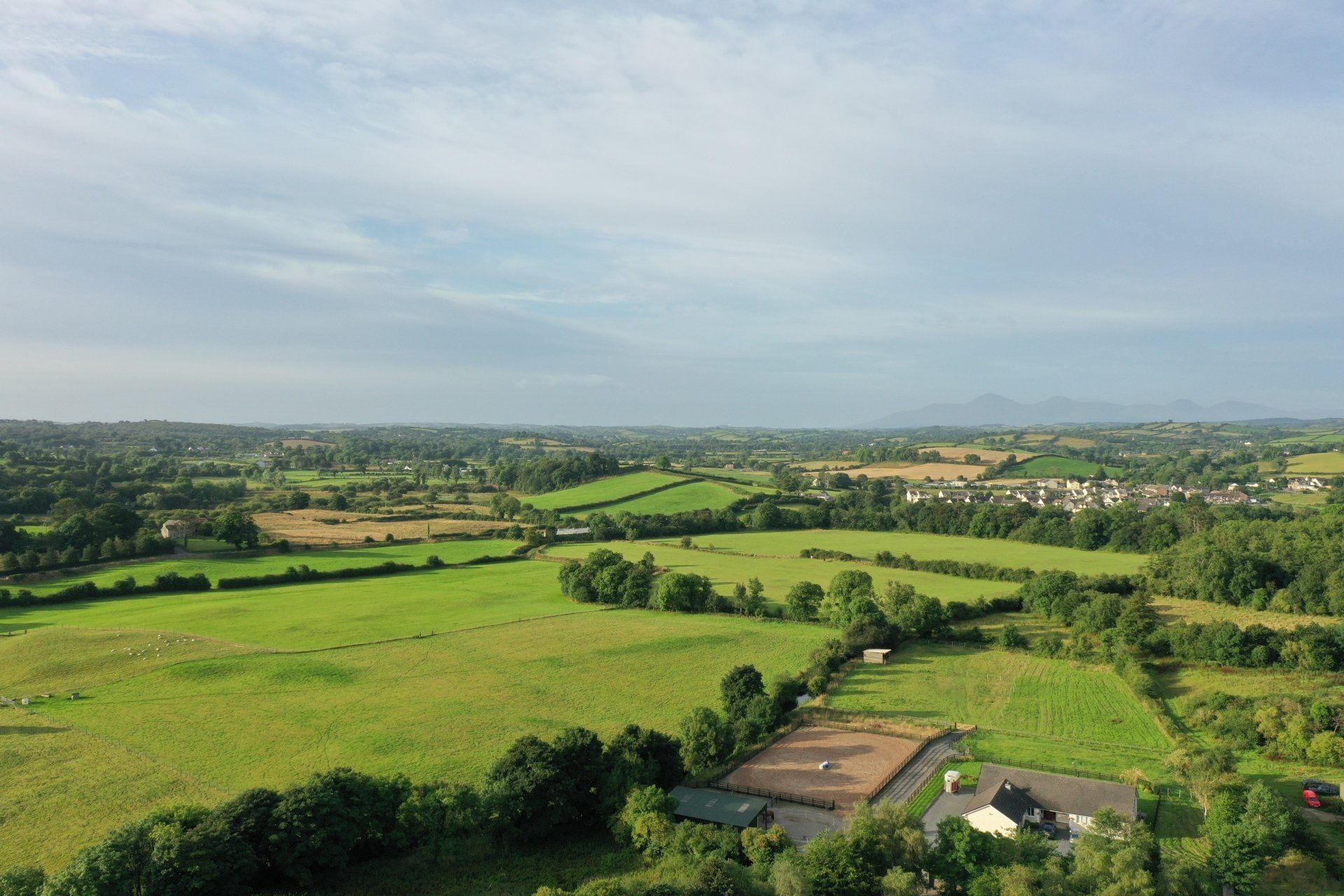
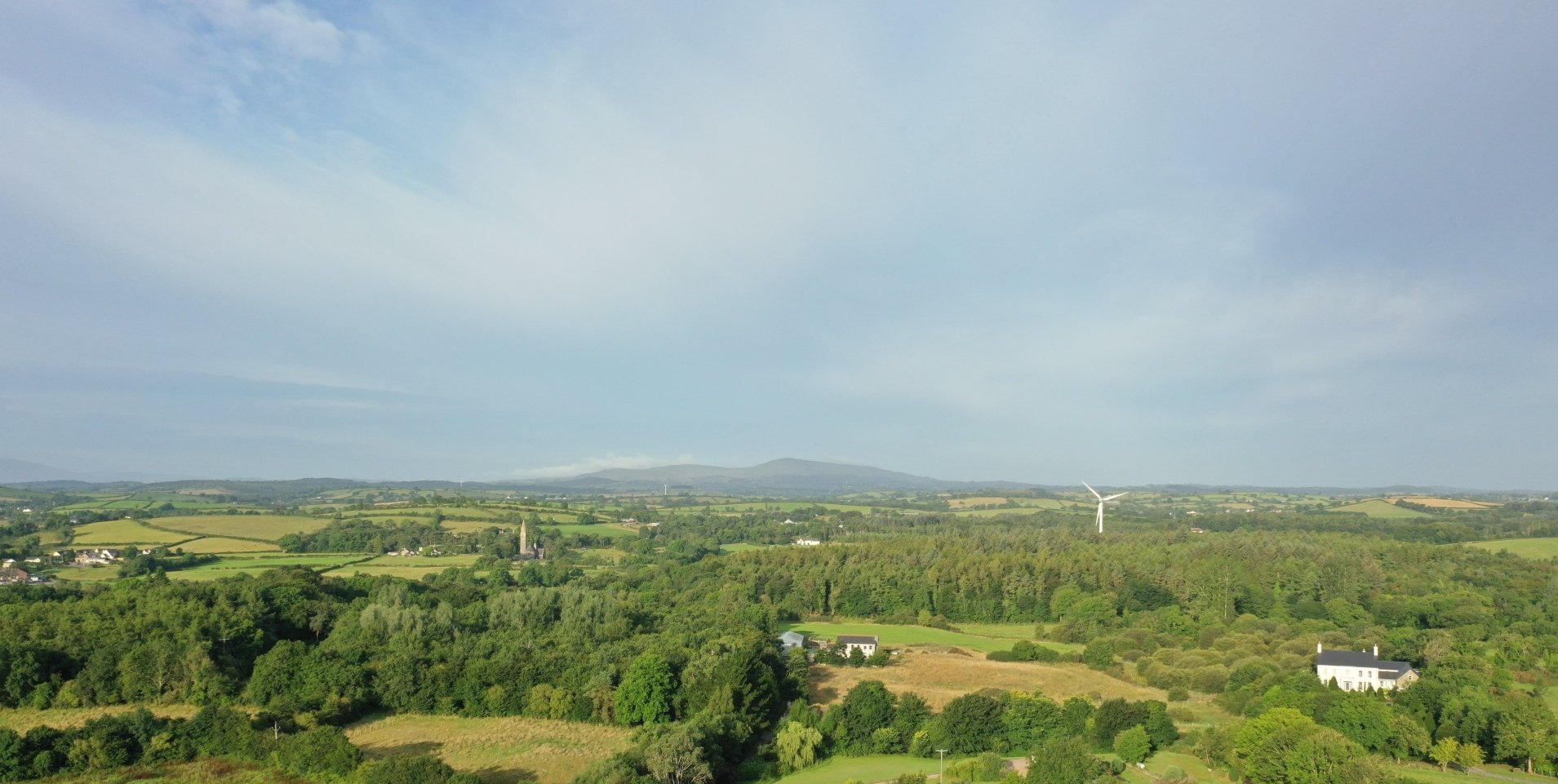
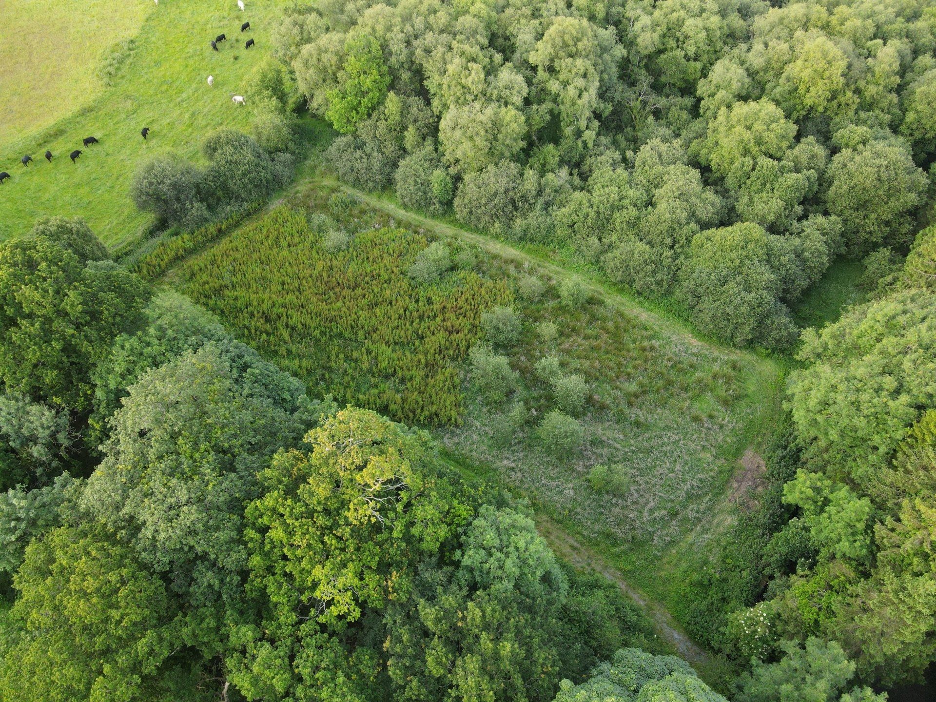
Private Country Estates
All Aerial inspections for Country Estates are carried out by a Robert Dobbin a professional high qualified drone pilot with all the necessary insurances, permissions, certificates, and meet all relevant safety and legal requirements, and a full report including a descriptions of the inspection, coordinates with high quality digital images if required.
Examples:
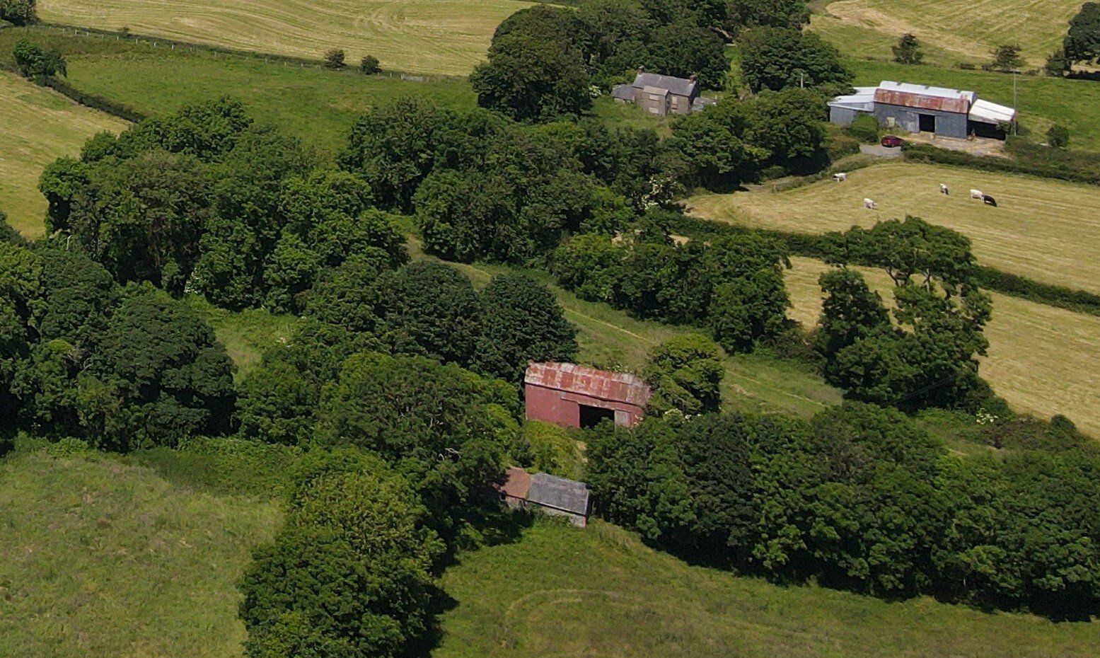
Aerial Roof Inspections & Surveys
Aerial Barn Roof Inspections
Crop Analyst
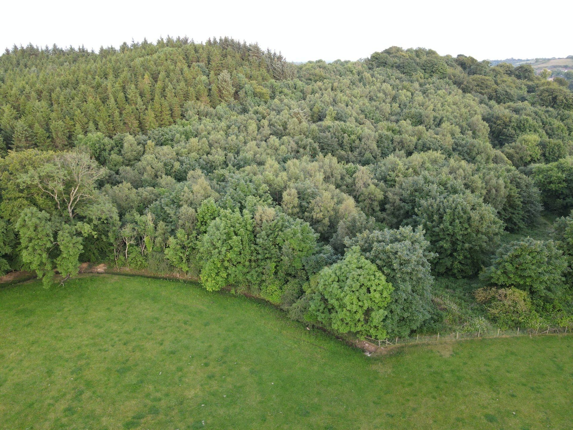
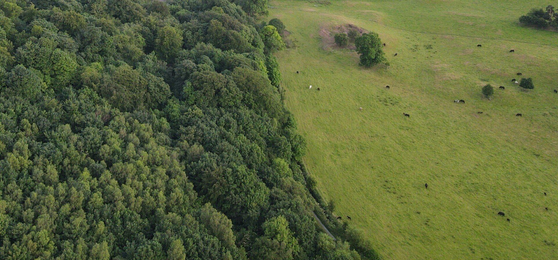
Tree & Environmental Inspections & Surveys
Climate Change Surveys for Land & Shore

Aerial Photography Inspections - Solar Panels
All Aerial inspections are carried out by a professional drone pilot with all the necessary insurances, permissions, certificates, and meet all relevant safety and legal requirements, and a full report including a descriptions of the inspection, coordinates with high quality digital images.

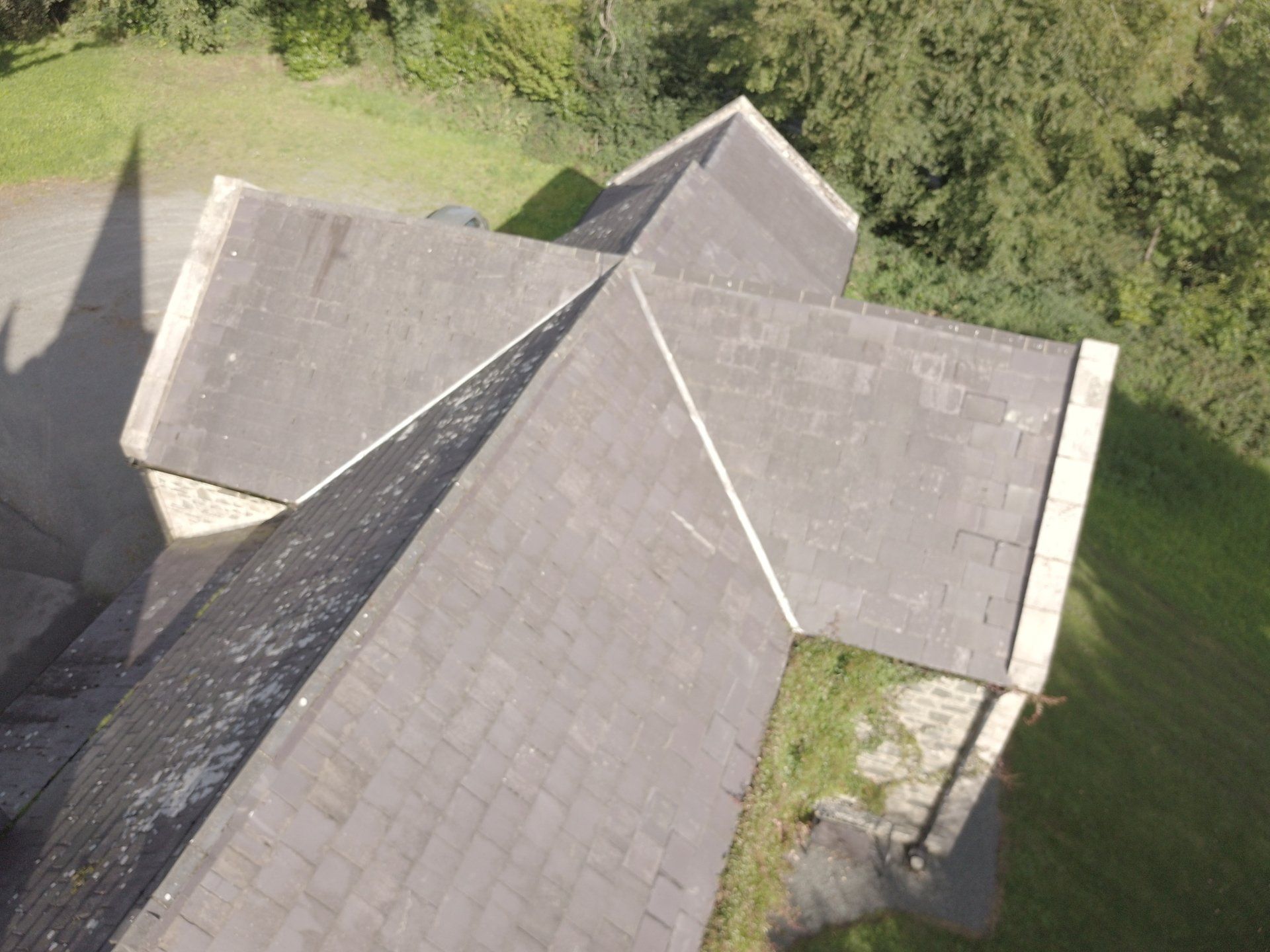
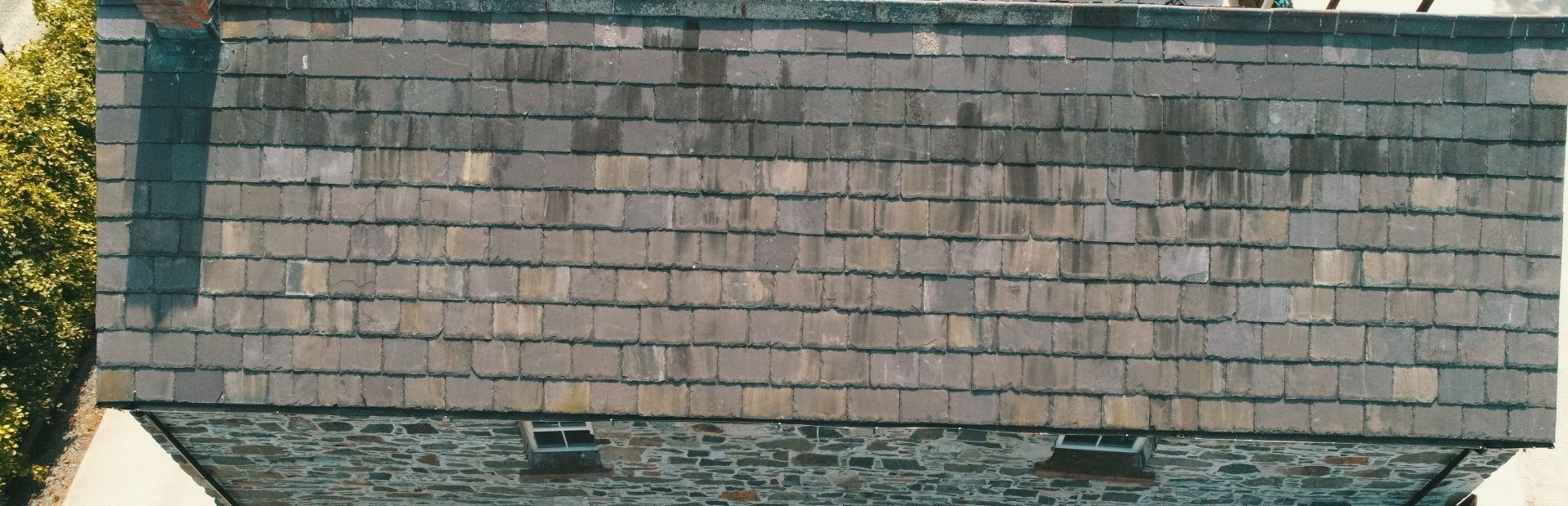
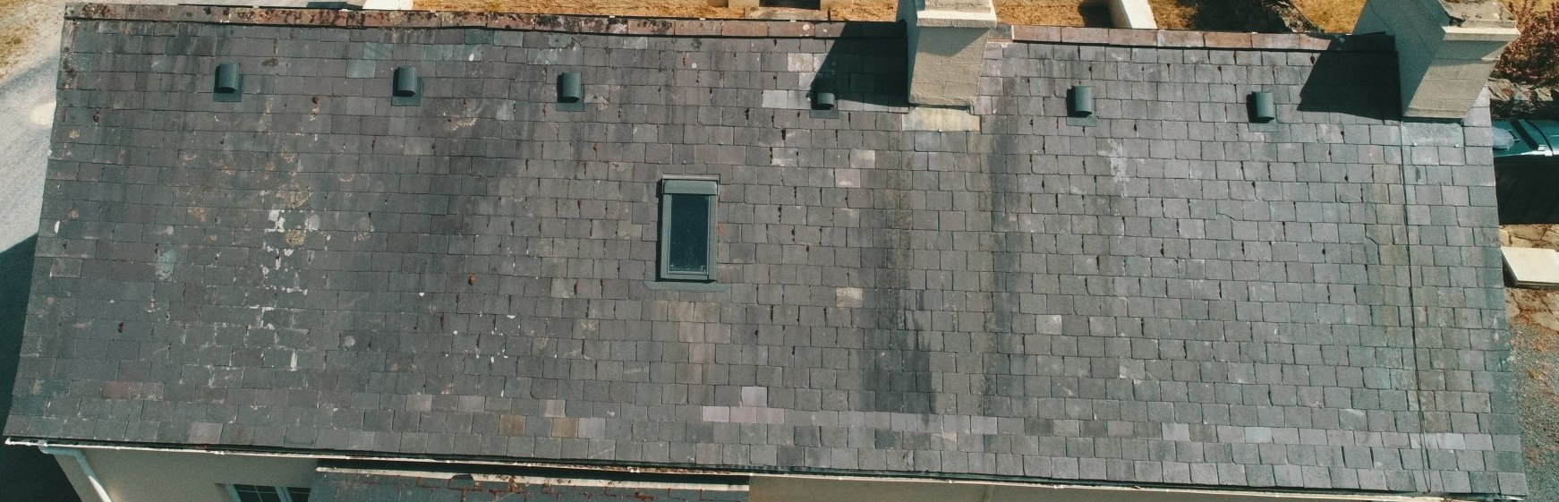
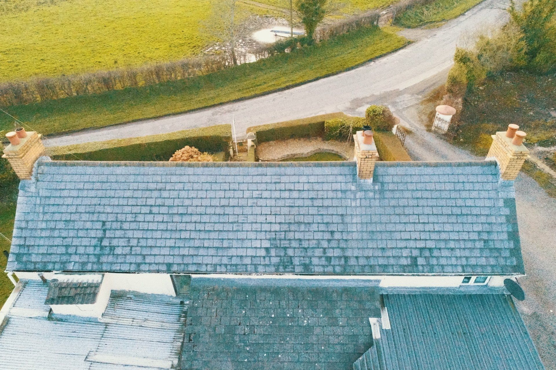
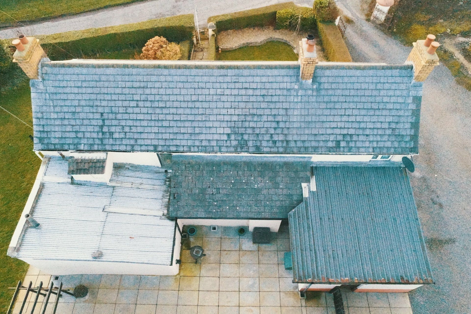
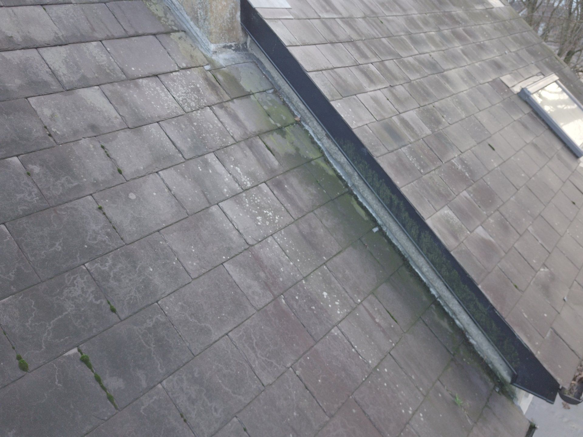
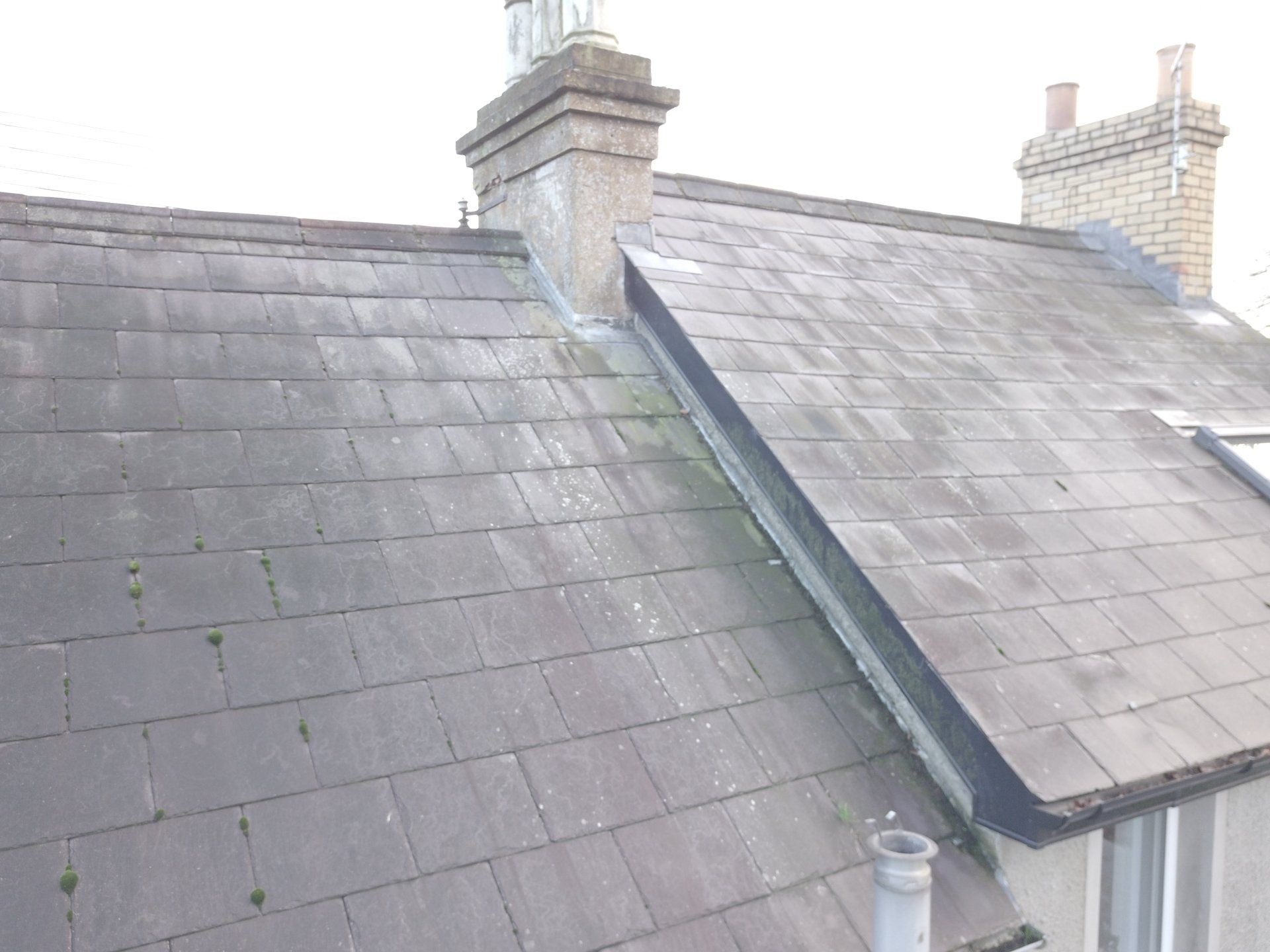
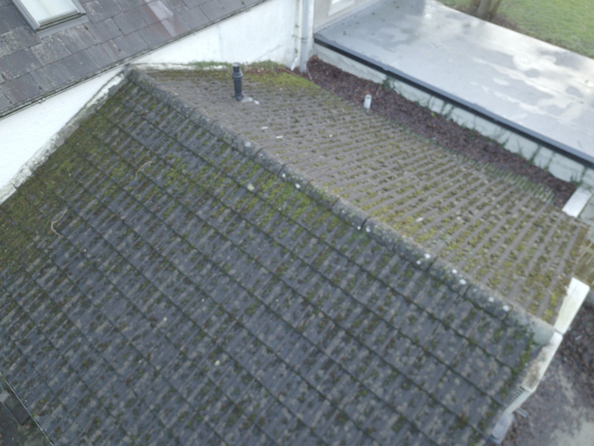
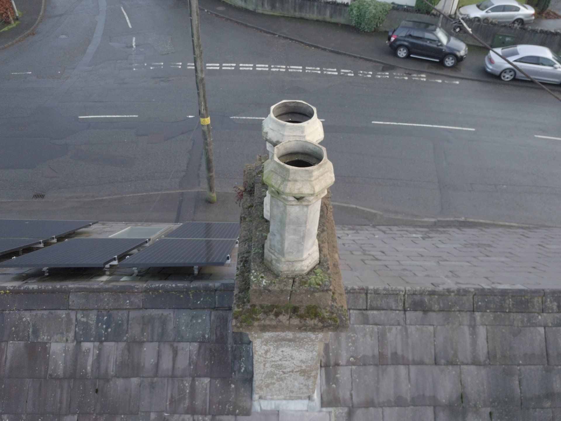
Aerial Photography - Roof Survey Inspections
All Aerial Roof inspections are carried out by a professional drone pilot with all the necessary insurances, permissions, certificates, and meet all relevant safety and legal requirements, and a full report including a descriptions of the inspection, coordinates with high quality digital images if required.
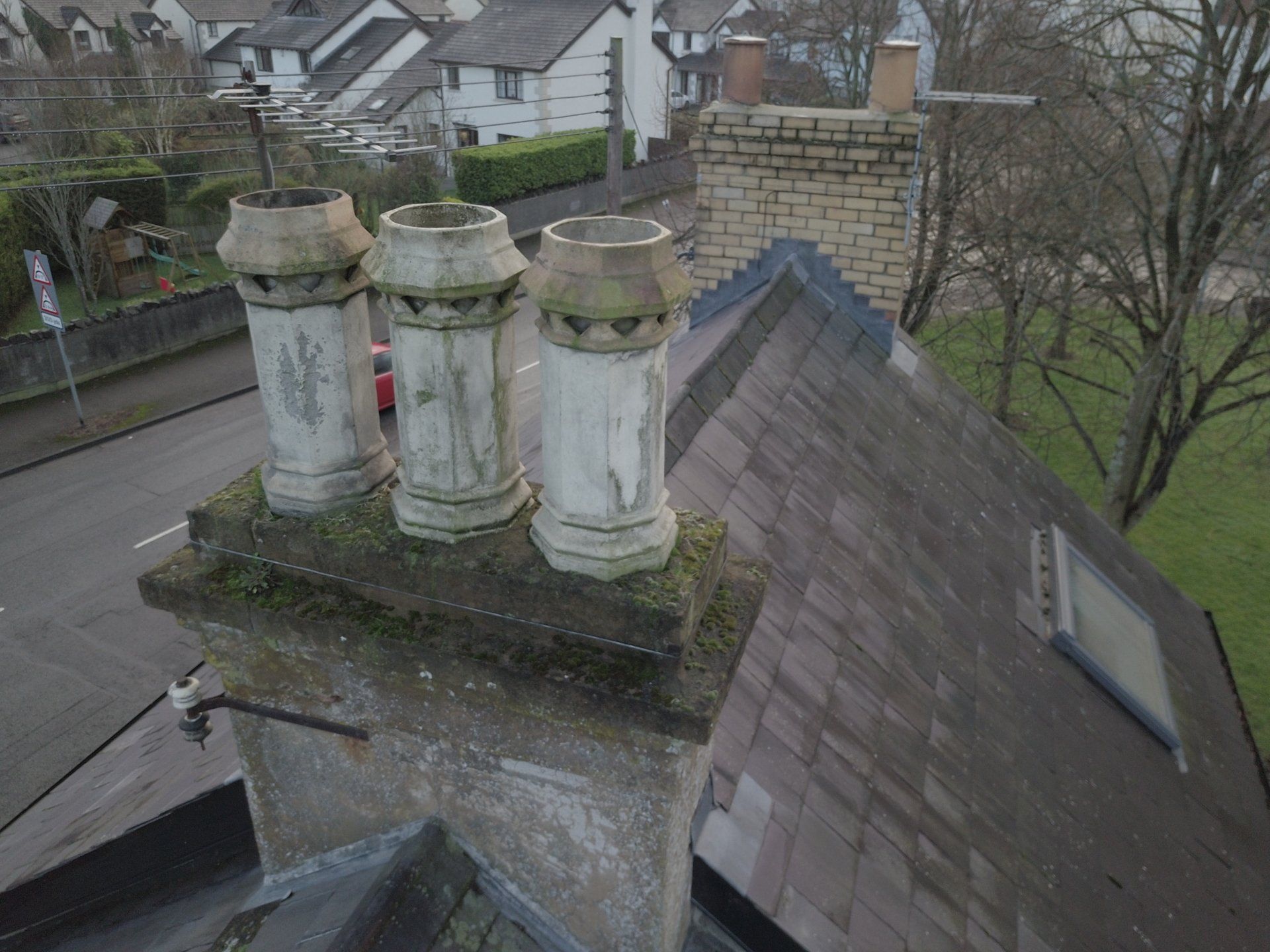
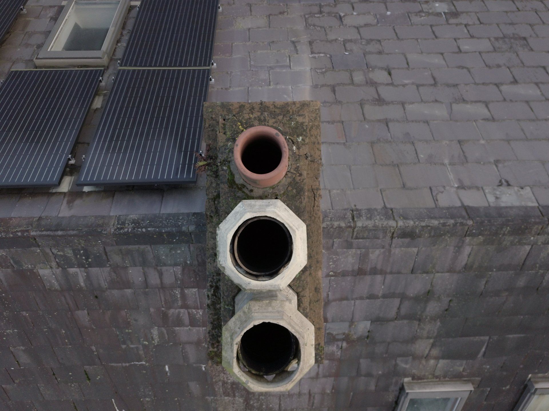
Aerial Photography - Chimney Inspections
All Aerial inspections are carried out by a professional drone pilot with all the necessary insurances, permissions, certificates, and meet all relevant safety and legal requirements, and a full report including a descriptions of the inspection, coordinates with high quality digital images if required.
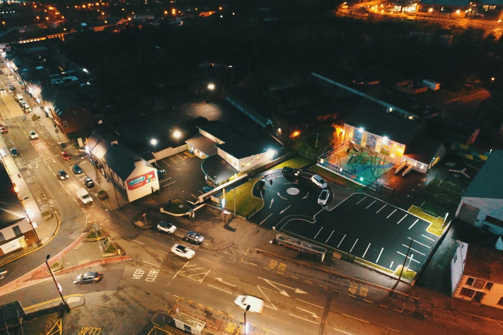
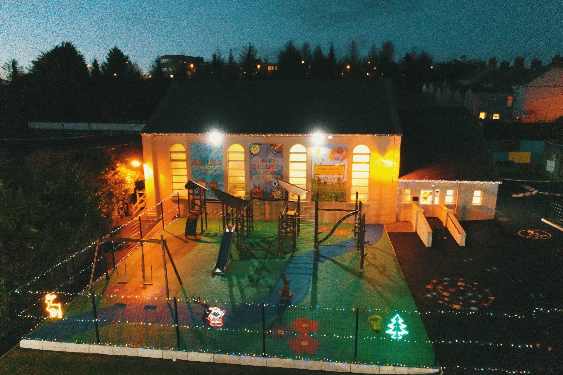
Aerial Photography -Night Operations
OPENING HOURS
- Mon - Thu
- -
- Fri - Sat
- -
- Sunday
- Closed
Special Opening Hours available on request
Contact
Robert Dobbin
All Rights Reserved © 2025 | Dronepilotdeploy.com | Online Exam Procedures | Website built by Infoserve | Privacy Policy | Terms & Conditions | Sitemap |